


Is your satellite imagery creating terrtex, or just rendering in the editor?
-
If you like what you see here at Trainsim.com, be it the discussions and knowledge in the forums, or items available in our library, I hope you'll consider a paid membership to help support keeping the site operating.... Thanks! -
Just rendering, for now.
==
New update: http://koniec.org/tsre5/data/TSRE5_v0.680.exe
0.680
- snapables works 100% like in MSTS
- tracks and snapable snap when moved using mouse too
- objects are transffered between tiles when moved using mouse ( clears UNDO history! )
- "snapableOnlyRot = true/false" stick to track property in settings.txt
- minor fixesLast edited by GokuMK; 02-01-2017, 15:08.Comment
-
Good work Goku.
I think this is definitely moving to a point where it is becoming a viable alternative to the MSTS Editor, particularly as mine has currently gone into sulk mode... (subject for another thread).
Google overlay excellent and will add similar functionality to that enjoyed in Trainz (with Transdem) or RW/TS20xx with the Google Earth plug in. I think that would probably be the limit though as using actual satellite imagery on a finished route could raise copyright issues.Vern.Comment
-
I have just started making a new route to test TSRE5 with. I have picked Goa in India which is broadly covered already by the Braghanza Ghat route. There are however parts of that route I do not like, hence this attaempt with TSRE%.
First impressions are that the editor is very easy to use, once you know which key does what. No need for the RGE or Demex, all of that is done with the editor. Not tried the Google overlay yet, not sure how to generate the required key.Beer is not a matter of life or death, it is much more serious than that.Comment
-
A question from one unlearned:
Is a route created and built with TSRE5, or an MSTS route MODIFIED using TSRE5 still compatible with MSTS/Bin? Or must such a TSRE5 created/built/modified route be run in OR only?
Thanks.Andre Ming
V Scale Creations.com R.I.PComment
-
It is compatible with MSTS/Bin.Comment
-
Thank you Goku for your reply.
I am watching the development of your route editing software with great interest.Andre Ming
V Scale Creations.com R.I.PComment
-
New version: http://koniec.org/tsre5/data/TSRE5_v0.683.zip
0.683
- better terrain shader
- snapable fix
- create terrain texture from map texture
- auto paint trackobj or ruler obj ( press ctrl to paint nearest trackobj, or select ruler obj and press ctrl to paint it )
- other fixes
(better terrain shader)
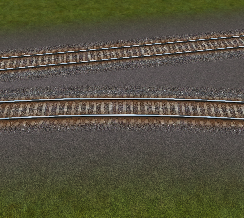
(create terrain texture from map texture)

(auto paint trackobj or ruler obj)


Comment
-
Thank you for your work.
I have downloaded your latest version.Andre Ming
V Scale Creations.com R.I.PComment
-
Add my thank you also. I really do appreciate your hard work.
sincerely,
vince............Vince ..............
...... Author NECv4 .......
.... LIRR BUILD PHOTOS ....
...... Eschew Obsfucation ......
On the The Statue of Liberty in New York Harbor there is a Tablet. On it is written:
"Give me your tired, your poor, your huddled masses yearning to breathe free,
the wretched refuse of your teeming shore, send these, the homeless, tempest-tossed to me,
I lift my lamp beside the golden door!"Comment
-
Thanks for the super editor. I wanted to test the "create terrtex from map" function, but I only get so far as to "wait". In the log it says "The provided API key is invalid." Where and how do I get a valid one?Comment
-
If you want to download only small amount of maps, remove this line from settings.txt
googleMapsKey = sdsdsdasdasasd
If you want your key: https://developers.google.com/maps/d...pt/get-api-keyComment
-
New version: http://koniec.org/tsre5/data/TSRE5_v0.684.zip
0.684
- create and edit multiline sound regions and speedposts
- support for ORTSUserPreferenceForestClearDistance in TRK file ( Forests are avoiding tracks when placing trees)
- tile water level fix
- set opacity (Alpha) for map layer (use it before loading or downloading maps; use opauge maps only for terrain texture edition, NOT for object placing etc)
- google maps replaced with universal URL in settings.txt. If you want to use google satellite, set:
Code:imageMapsUrl = http://maps.googleapis.com/maps/api/staticmap?center={lat},{lon}&zoom={zoom}&size={res}x{res}&maptype=satellite&key=Last edited by GokuMK; 02-07-2017, 17:42.Comment
-
New update: http://www.koniec.org/tsre5/data/TSRE5_v0.685.exe
0.685
- crossover items are created when placing xover tracks
- show/hide track items menu option
- choose zoom 17 or 18 for raster maps
- new settings.txt property: mapImageResolution (use 2048,4096,8192 etc)
- "F" adjust terrain to tracks when not in TDB, adjust terrain to static objects
New map quality: zoom 17 on the left, zoom 18 on the right

Adjust terrain to static objects:

Comment
-
Wow, cool stuff being added in your latest versions. Thanks Goku, very much.
I'll admit, I have not used it yet, but keep downloading the latest version. When I have time, I look forward to learning how to use the latest and greatest version.Neil
Chicago Railroading FanComment


Comment