


The Mactier sub is a classic route that holds up very well in most areas, but there are a few areas in the scenery where I saw room for improvement. I started tinkering on and off to rectify some of these items and I would like to show off what I have done so far. This project isn't intended for a public release at the current time, rather this is meant to inspire future efforts. Please feel free to leave any feedback or suggestions if you have them. All assets used here are from the default route, TEM Bridges set, and CN Blackfoot V3. Here is a selection of what I have done so far running south to north:
Black Creek Dr
IMG_20240602_112634_447.png
Replace concrete Mactier Sub span with steel span more closely resembling the real structure. Supports taken from Blackfoot V3.
HWY 407
IMG_20240814_142828_178.png
The concrete span is replaced with steel span with concrete supports to more closely resemble the real structure.
IMG_20240814_164430_485.png
Langstaff Rd
IMG_20240814_163410_083.png
This is a common thread among road overpasses. Replaces unsupported concrete span with a steel span supported by abutments. This one is a placeholder.
IMG_20240908_173900_926.png
Vaughan Intermodal Terminal
IMG_20240628_180547_863 (2).png
Replaced the bridge over the truck access road off of Rutherford Rd with a more accurate span.
IMG_20240628_180537_625 (2).png
IMG_20240628_180534_083 (2).png
Further down the road, I created a larger underpass to emulate the wide concrete arch used to carry the curve over the road at this location.
IMG_20240628_180428_353 (2).png
Hwy 50 south of Palgrave
IMG_20240731_154815_761.png
After
IMG_20240814_165053_541.png
Between Buckskin and Bala:
IMG_20240628_180600_364 (2).png
Replaced old support columns with new ones from CN Blackfoot. Revised column placement.
IMG_20240628_180552_761 (2).png
Bala:
Miscellaneous placeholder bridge work. Of note are a couple of crude dam models I made in blender to be placed at Bala Falls as a placeholder in lieu of something more detailed for now.
IMG_20240628_191933_306 (2).png
IMG_20240602_112629_172.png
Rock texture bug:
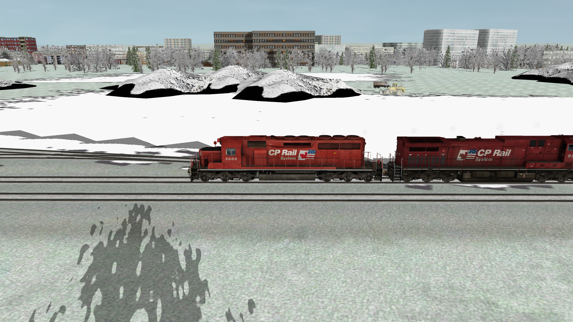
With the version available from TS, there is a bug on the DDS rock texture which sees part of the texture mapped to the object be transparent. Before and after shots of the correction.
image_2024-08-21_22-31-00.png
IMG_20240821_223718_390.png
Future Considerations:
For what appears to be practicality reasons, a lot of the smaller lakes and rivers at the north end of the route are done with static water. Unfortunately, the look doesn't really do the area justice. I'm investigating my options to rectify this.
Black Creek Dr
IMG_20240602_112634_447.png
Replace concrete Mactier Sub span with steel span more closely resembling the real structure. Supports taken from Blackfoot V3.
HWY 407
IMG_20240814_142828_178.png
The concrete span is replaced with steel span with concrete supports to more closely resemble the real structure.
IMG_20240814_164430_485.png
Langstaff Rd
IMG_20240814_163410_083.png
This is a common thread among road overpasses. Replaces unsupported concrete span with a steel span supported by abutments. This one is a placeholder.
IMG_20240908_173900_926.png
Vaughan Intermodal Terminal
IMG_20240628_180547_863 (2).png
Replaced the bridge over the truck access road off of Rutherford Rd with a more accurate span.
IMG_20240628_180537_625 (2).png
IMG_20240628_180534_083 (2).png
Further down the road, I created a larger underpass to emulate the wide concrete arch used to carry the curve over the road at this location.
IMG_20240628_180428_353 (2).png
Hwy 50 south of Palgrave
IMG_20240731_154815_761.png
After
IMG_20240814_165053_541.png
Between Buckskin and Bala:
IMG_20240628_180600_364 (2).png
Replaced old support columns with new ones from CN Blackfoot. Revised column placement.
IMG_20240628_180552_761 (2).png
Bala:
Miscellaneous placeholder bridge work. Of note are a couple of crude dam models I made in blender to be placed at Bala Falls as a placeholder in lieu of something more detailed for now.
IMG_20240628_191933_306 (2).png
IMG_20240602_112629_172.png
Rock texture bug:
With the version available from TS, there is a bug on the DDS rock texture which sees part of the texture mapped to the object be transparent. Before and after shots of the correction.
image_2024-08-21_22-31-00.png
IMG_20240821_223718_390.png
Future Considerations:
For what appears to be practicality reasons, a lot of the smaller lakes and rivers at the north end of the route are done with static water. Unfortunately, the look doesn't really do the area justice. I'm investigating my options to rectify this.




Comment